Southwest Puerto Rico Coastal Gem
About Cabo Rojo, PR
Welcome to Cabo Rojo, Puerto Rico's "Capital of Internal Tourism," famed for its lighthouse, pink salt flats, and beaches.
Cabo Rojo is a city and municipality on the southwestern coast of Puerto Rico, at the island's westernmost tip. It forms part of the San Germán–Cabo Rojo metropolitan area and the larger Mayagüez–San Germán–Cabo Rojo combined statistical area. The municipality is home to roughly 47,000 residents and is known locally as the "Capital of Internal Tourism," a reflection of its popularity as a destination for Puerto Ricans and visitors alike. The municipality is defined by its dramatic coastline and natural landmarks. The Los Morrillos Lighthouse, perched atop 200-foot limestone cliffs, marks the southwestern tip of the island and overlooks the Caribbean Sea. Nearby, the pink salt flats have been a site of salt production since 1511, their vivid color and salt mountains among the island's most photographed sights. Playa Sucia, also known as La Playuela, is a crescent-shaped white-sand beach widely regarded as one of Puerto Rico's finest, and the Cabo Rojo National Wildlife Refuge protects surrounding coastal and upland habitats. Cabo Rojo's economy centers on tourism, hospitality, commercial fishing, seafood processing, agriculture, retail commerce, and salt production. The barrios of Boquerón and Joyuda are known for their fishing heritage and seafood restaurants, giving the municipality a distinctly coastal, laid-back character. In total, the municipality claims well over 100 beaches along its shoreline. The municipality is organized into eight barrios plus the urban center: Bajura, Boquerón, Guanajibo, Llanos Costa, Llanos Tuna, Miradero, Monte Grande, and Pedernales, with the Cabo Rojo barrio-pueblo serving as the administrative seat. Public schools are operated by the Puerto Rico Department of Education. Its position near Mayagüez and the Rafael Hernández Airport in Aguadilla provides regional connectivity, and Cabo Rojo appeals to residents and second-home buyers drawn to its beaches, natural areas, and relaxed coastal lifestyle on Puerto Rico's west coast.
Frequently Asked Questions
Where is Cabo Rojo located?
Cabo Rojo is located on the southwestern coast of Puerto Rico, at the island's westernmost tip. It forms part of the San Germán–Cabo Rojo metropolitan area and the larger Mayagüez–San Germán–Cabo Rojo combined statistical area.
What is Cabo Rojo known for?
Cabo Rojo is known as the 'Capital of Internal Tourism' and is celebrated for the Los Morrillos Lighthouse, perched on 200-foot limestone cliffs, the pink salt flats that have produced salt since 1511, and Playa Sucia, a crescent white-sand beach.
What beaches are in Cabo Rojo?
Cabo Rojo is known for its beaches, including Playa Sucia (also called La Playuela) and the shoreline around Boquerón. The municipality counts well over 100 beaches along its coast, along with the Cabo Rojo National Wildlife Refuge.
How many barrios does Cabo Rojo have?
Cabo Rojo is organized into eight barrios plus the urban center: Bajura, Boquerón, Guanajibo, Llanos Costa, Llanos Tuna, Miradero, Monte Grande, and Pedernales, with the barrio-pueblo serving as the administrative seat.
What is there to do in Cabo Rojo?
Visitors can explore the Los Morrillos Lighthouse and its clifftop views, the pink salt flats, the beaches, and the Cabo Rojo National Wildlife Refuge, and dine on fresh seafood in the fishing villages of Boquerón and Joyuda.
City Guide
About Cabo Rojo
Real Estate & Housing
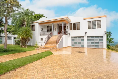
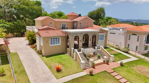
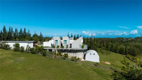
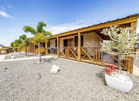
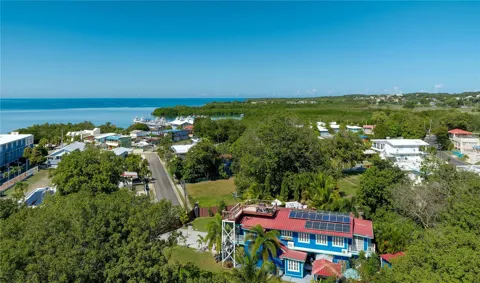
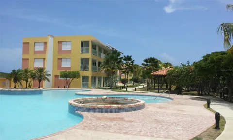
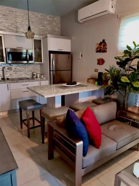
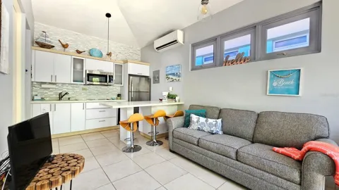
Cabo Rojo's housing stock reflects its coastal, tourism-oriented setting. The municipality mixes traditional in-town homes in the barrio-pueblo with beach cottages, vacation properties, and newer single-family construction in areas such as Boquerón and Joyuda. Many residents own their homes, and a portion of the market is oriented toward second homes and rentals serving the tourism economy. Properties near the coast command particular interest, while inland barrios offer a quieter, rural character. The overall market spans modest in-town homes to coastal residences.
Neighborhoods
Cabo Rojo is divided into eight barrios plus the urban center. The barrio-pueblo serves as the historic and administrative heart, while Boquerón is known for its beachfront, fishing village, and boardwalk, and Joyuda for its concentration of seafood restaurants along the water. Guanajibo, Miradero, and Monte Grande extend through the municipality's interior, and the coastal barrios of Llanos Costa and Llanos Tuna hold rural shoreline and salt flat landscapes. Pedernales and Bajura round out the municipality's varied residential and coastal areas.
Lifestyle in Cabo Rojo
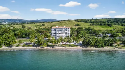
Cabo Rojo offers a relaxed, coastal Caribbean lifestyle. Days center on the beach, with swimming, fishing, and boating woven into local culture, and evenings draw residents and visitors to the seafood restaurants of Joyuda and the lively waterfront of Boquerón. The municipality's natural attractions, from the lighthouse cliffs to the salt flats and wildlife refuge, support hiking, birding, and outdoor exploration. Tourism and fishing shape the community's identity, giving Cabo Rojo a vibrant yet unhurried west-coast atmosphere.
Schools & Education
Public education in Cabo Rojo is handled by the Puerto Rico Department of Education, which operates roughly sixteen public schools across the municipality serving students from elementary through high school. Private schools supplement the public system. Higher education is accessible nearby, including institutions in Mayagüez and San Germán, giving local students access to collegiate and technical programs within the region.
Getting Around
Cabo Rojo is connected to the rest of Puerto Rico by the island's road network, with principal routes linking the municipality to Mayagüez, San Germán, and the broader west coast. The Mayagüez airport, about a dozen miles away, provides regional air service, while Aguadilla's Rafael Hernández Airport, roughly 45 minutes north, offers international connections. Most travel is by car, and the municipality's coastal roads give access to its many beaches and attractions.
Parks & Recreation
Cabo Rojo's recreation is defined by its coastline and natural areas. Playa Sucia (La Playuela) and the beaches of Boquerón offer swimming, sunbathing, and water sports, while the Los Morrillos Lighthouse cliffs provide hiking and panoramic Caribbean views. The pink salt flats and Cabo Rojo National Wildlife Refuge support birding, photography, and nature walks, and the area's waters are popular for fishing, boating, and kayaking. With more than 100 beaches and a network of trails, the municipality is one of Puerto Rico's premier outdoor destinations.
MARKET SNAPSHOT
The Market at a Glance
How homes have been selling here over the last 90 days.
Price & Sales History
Market data reflects closed sales over the last 90 days and is provided for informational purposes.
For sale
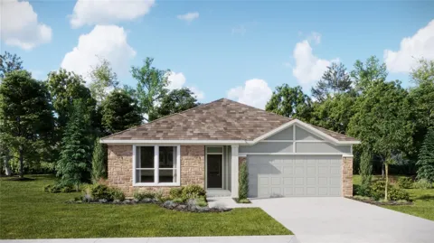
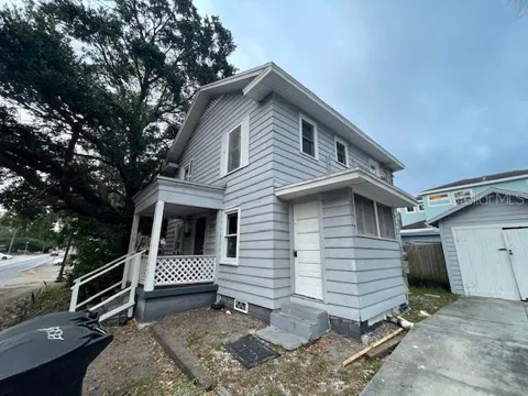
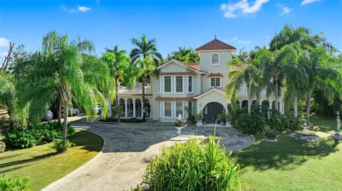
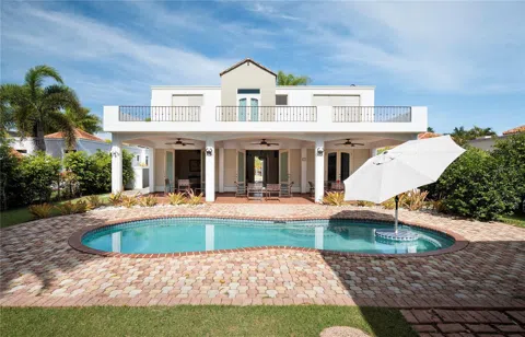
Houses in Cabo Rojo, PR
Handpicked properties hitting the scene in your area.
For sale
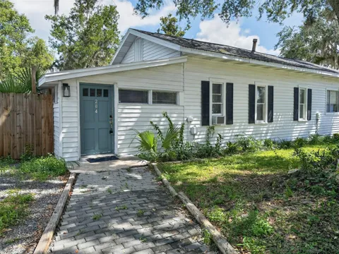
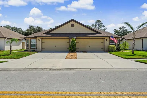
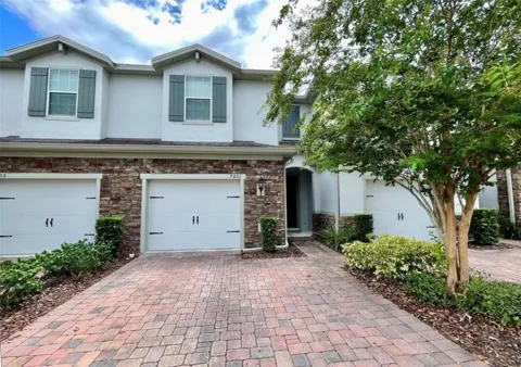
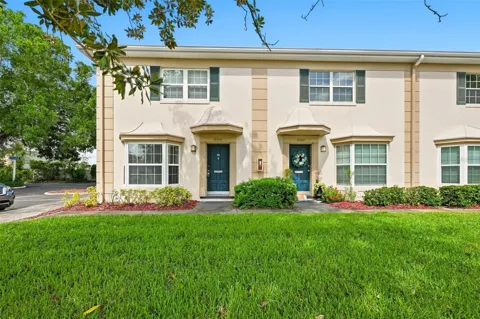
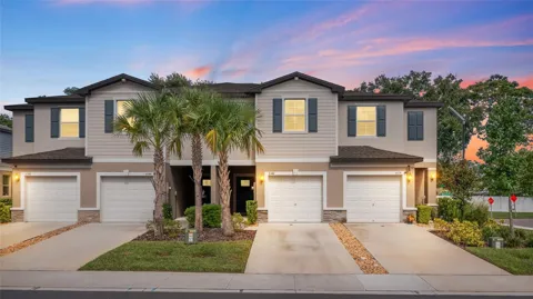
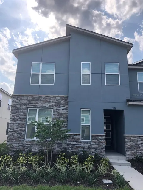
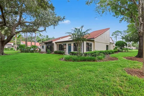
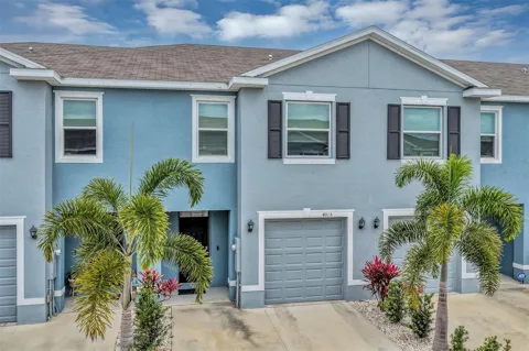
Townhomes in Cabo Rojo, PR
Handpicked properties hitting the scene in your area.

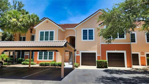
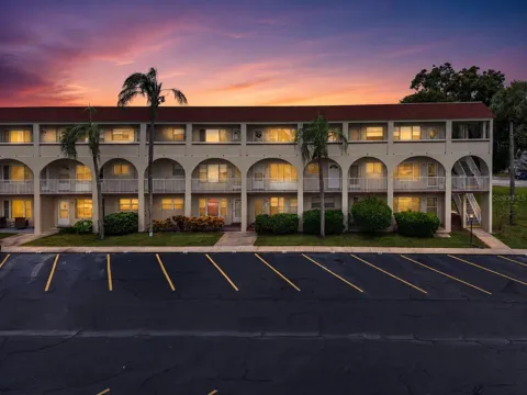
For sale
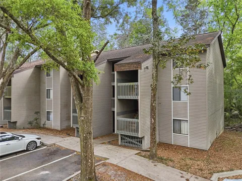
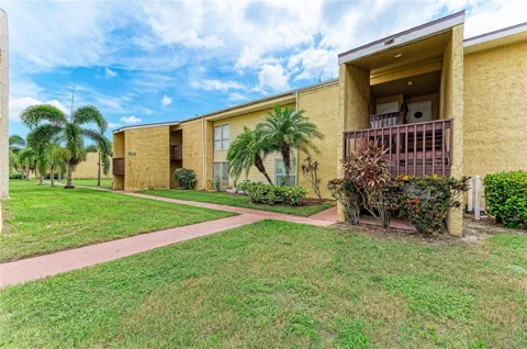
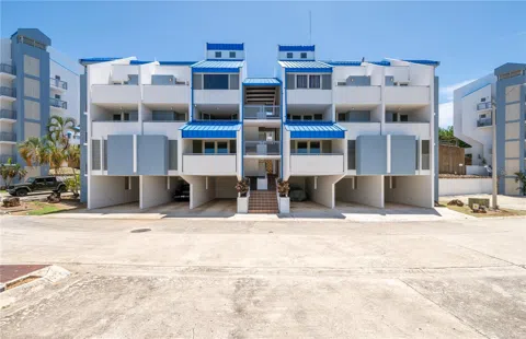
Condos in Cabo Rojo, PR
Handpicked properties hitting the scene in your area.
Zip Codes
BROWSE BY ZIP
Browse listings by postal code in this area.
- Grid
- Map
- List
26929 Coral Vine Lane Wesley Chapel, FL 33544